Online Map Viewer & Geographic Information System
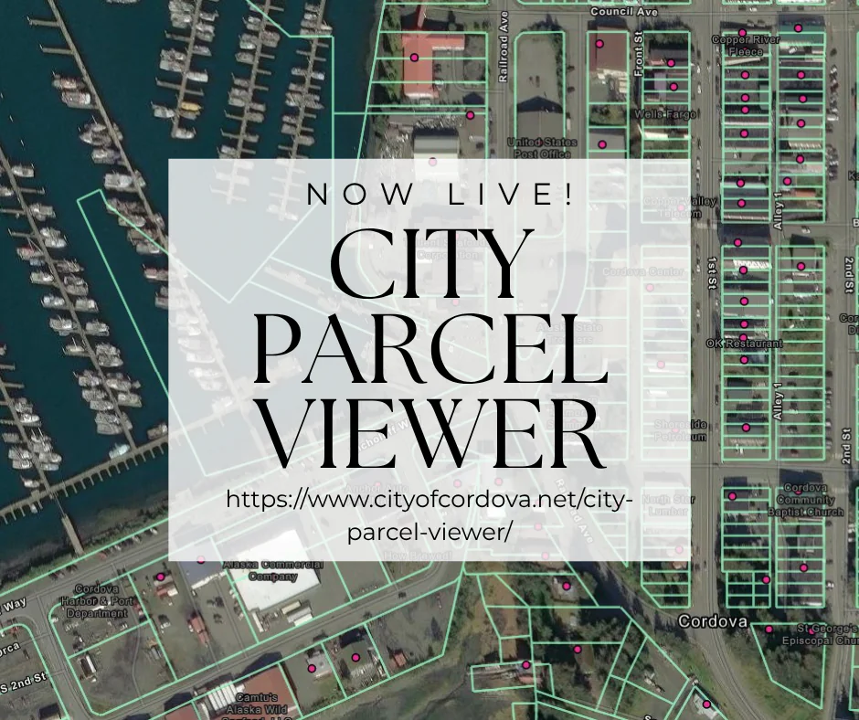
The City of Cordova maintains a geographic information system (GIS), a map-based program for gathering, managing, and analyzing data. The parcel web mapping service is a platform for general access to parcels and other publicly available data. The program uses layers to organize information into a familiar map-based format. Planning Department Staff maintain and manage data layers. The parcel viewer is now available on the City website at the link below.
https://www.cityofcordova.net/city-parcel-viewer/